|
<< Click to Display Table of Contents >> Meteo site |
  
|
|
<< Click to Display Table of Contents >> Meteo site |
  
|
(go directly to our Notes on Meteo)
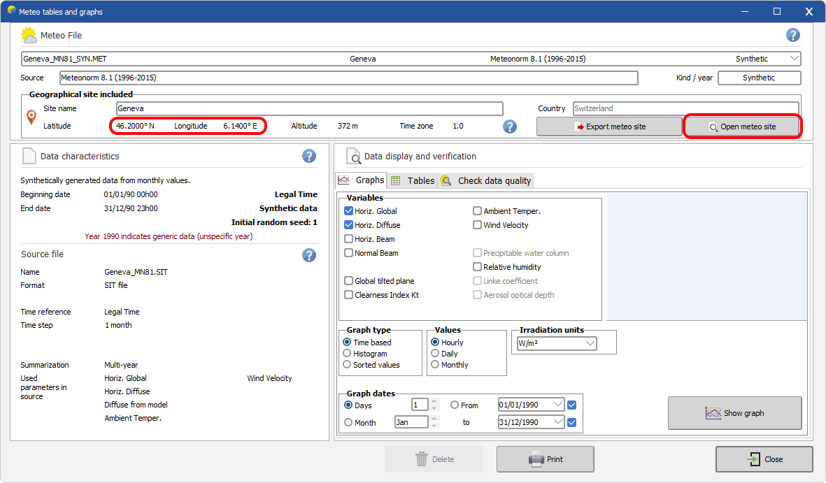
The meteo site parameters include :
- Latitude,
- Longitude,
- Altitude,
- Time Zone,
- and a typical monthly meteo.
In the *.MET file the monthly meteo and the geographical position on Google maps can be visualized using the View Site button. Note that PVSyst gives the possibility to export the meteo site as a *.SIT file if this has not been done during the importing procedure with the Export Meteo site button; the newly created *.SIT file will then be available for loading as the project site in the project definition section.
It is important not to confuse between the meteo site and the project site. The meteo data is only valid at the location where it was measured - or interpolated is the meteo provider uses interpolation methods - and this location is not necessarily the same as the project location. When defining a project, PVSyst searches for the available meteo files in the vicinity of the project site.
