Use case : Complex PVsyst scene
In this use case, we're going to see how we can manually group fields together in a complex scene, after we imported it from a DAE file we built in Sketchup.
There are three distinct zones of fields placed on a hill, each zone has a unique nominal tilt/azimuth pair. All fields follow the terrain slope so their normal vectors are varying.
Shadings definition
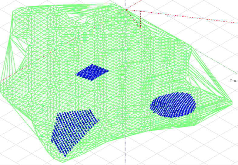
Here is the scene after we imported it in PVsyst :
We can clearly see the three zones
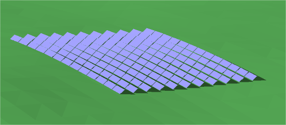
This shows how fields follow the ground slope.
Now let's see how they are grouped by default.
Interpretation and solution
Depending on the slope of your terrain and the orientation of your different batches, the default number of orientations can be 1 or many more. In any cases, the default grouping will probably not respect exactly the batches that you have.
To solve this we will create the orientations directly from the shading scene selected objects, this way it will be easier to make sure that the good fields go in the good orientation.
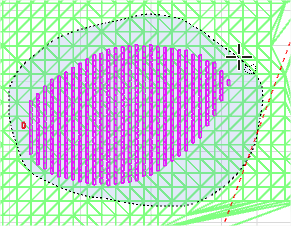
Let's start with the first zone, we select the fields using the lasso selection tool in the scene.
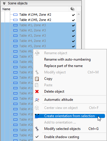
When the fields are selected, we right-click on one of them in the right-panel and select Create orientation from selection
Now the new orientation appears in the orientations tree. It contains the selected PV objects and the tilt/azimuth/base slope are the average calculations of those PV objects.
Now we repeat this operation for the two other batches.
Conclusion
The orientation definition is now over, we have a valid shading scene and just need to define a valid system to perform simulations.


