Ground Image
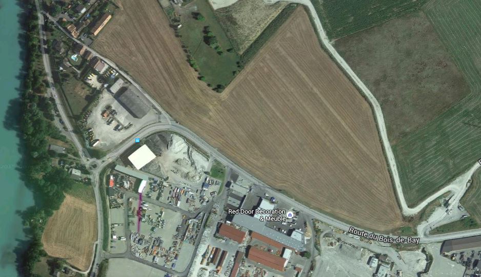
In the near shadings 3D editor, you can use menu File > Import > Import Ground Image to import an image or a plan of the scene ground. This file must be in BMP or PNG format. Importing a ground image helps to set position and dimension of the PV and shading objects when building the global scene. The user is responsible to provide the ground image. He can use for example a Google Map in earth view of the PV system area.
Note that PVsyst is expecting a Ground Image captured in 2D and showing the ground at 90 degrees. Once imported in the PVsyst 3D editor, the Ground Image will be visible only when top view is selected. Here is an example of Ground Image captured from Google Map:
