Download topography and/or ground image within PVsyst
It is possible to add a ground image and/or terrain data (topography) directly within the shadings scene. This is a feature that was shipped with PVsyst V8. Prior to that external files were needed to import terrain data and/or a ground image. Even though those old methods are still available, they are not mandatory anymore since PVsyst is now connected through APIs to Bing Maps and Azure Maps for ground images and to gpxz.io for elevation data. More data sources will be added in the future.
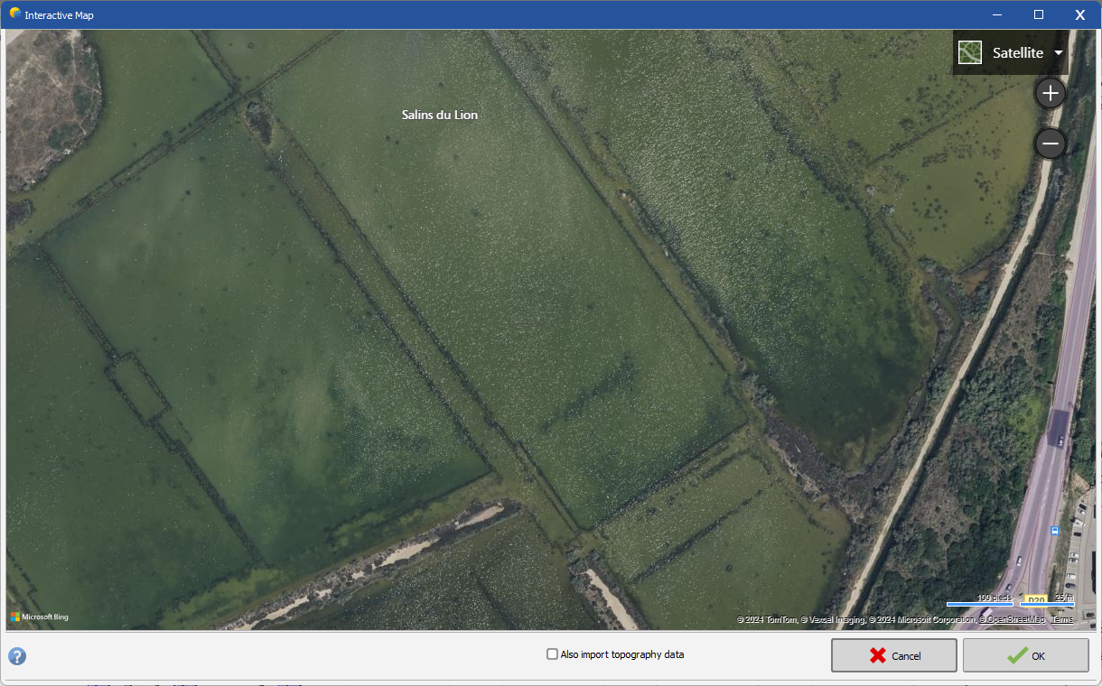
In the near shadings you can click on File > Import > Download a satellite ground image and/or ground data in the menu to open the following window:
On this window you will see the satellite view of your project location.
You can click and drag with your mouse to move around. However you will not be able to go very far from the original location to keep the consistency between your project location and the terrain data that you will be importing.
On the top right of the screen you will be able to switch between the "Satellite" and the "Map" view. You will also be able to zoom in and zoom out using the "+" and "-" buttons.
Clicking the "Also import topography data" checkbox will allow you to also import the terrain data and not only the ground image.
When clicking on the "OK" button, PVsyst will download the ground image as you see it on the window (the width and height are fixed). The topography data might be slighlty bigger. Both the ground image and the ground data will be imported with the correct scale and will be properly aligned between them.
If you would like to keep a smaller area of the ground image, you can double-click on it from the Objects Tree (on the right of the shadings scene) and then crop it.
