|
<< Click to Display Table of Contents >> Creation of a new site |
  
|
|
<< Click to Display Table of Contents >> Creation of a new site |
  
|
(go directly to our Notes on Meteo)
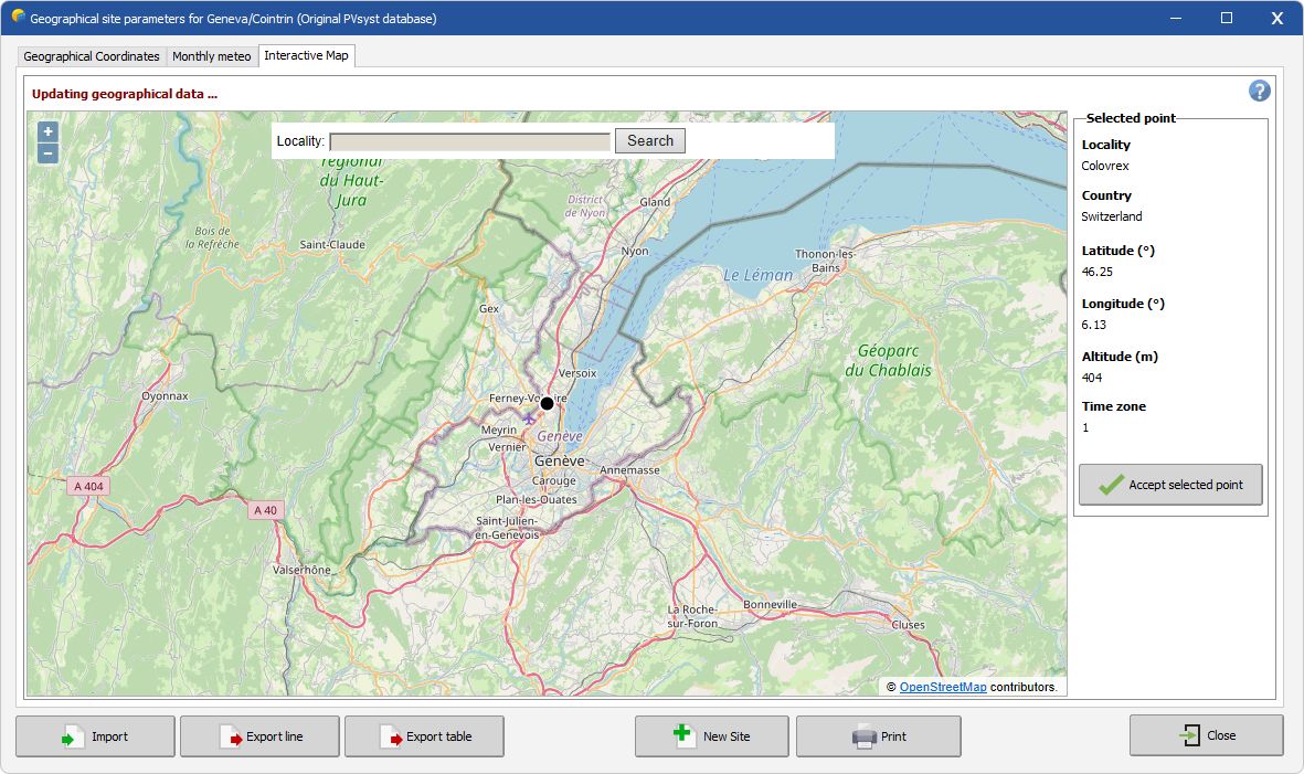
With the "Interactive Map" it is possible to find the geographical coordinates of any location worldwide using OpenStreetMap and Geonames web services:
•Enter the desired location in the "Locality" search zone
•Click on Search
•Check the Data within the Selected point frame on the right
•Click on "Import"
•Click on "OK" to save the changes.

You can also enter directly the coordinates of your site in the "Locality" search zone. The formats recognized are:
- +90.0, -127.554334
45, 180
-90, -180
-90.000, -180.0000
+90, +180
47.1231231, 9.99999999
- N90.00.00 E180.00.00
S34.59.33 W179.59.59
N00.00.00 W000.00.00
S34.59.33 W69.59.59
- 45°23'36.123456"N 010°33'48"E.
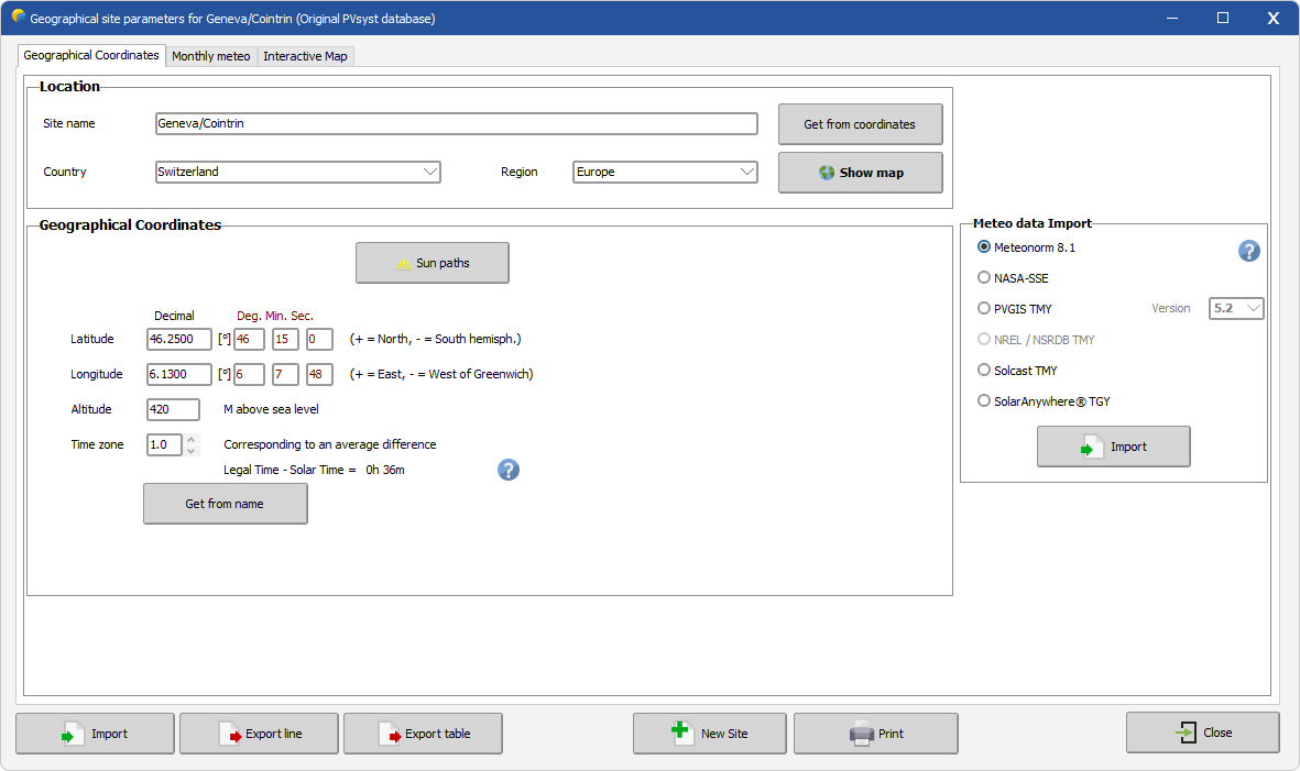
If the service does not find your location, this is not a problem: you have at anytime the possibility to enter your data manually on the "Geographical Coordinates" page.
If the service works properly, this will update the fields in page 1 and reset those in the "Monthly meteos" page. A red message tells you to fill the Monthly meteo data: you can do it either
- automatically with the "Import" button, by selecting the Meteonorm 8.1 interpolation procedure, the NASA-SSE 111km grid procedure, the PVGIS API or the NSRDB API if you have internet access to obtain TMY Monthly and Hourly meteo. By doing this the Monthly Meteo page will be proposed for verification, and the message in red will disappear on the first page.
or
- manually with custom monthly values (follow the link).
