Import TMY data from APIs
Importing weather data for geographical site creation
When creating a geographical site, after defining the latitude, longitude, altitude, time zone and site name, you can import weather data from the PVGIS API, NSRDB API, Solcast API, SolarAnywhere® API or SolargisAPI.
For the import to work, you need to have a working internet access. Both of these import is automatic based on the coordinates of your site.
The data imported are in hourly values, the values are then averaged and displayed as monthly values.
PVGIS TMY data
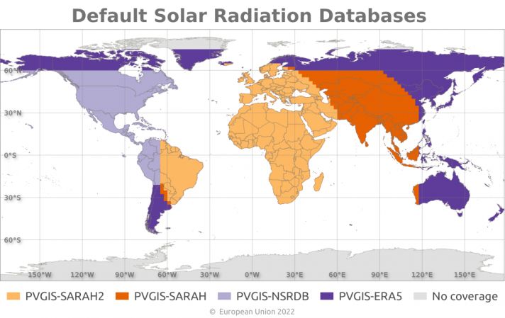
The PVGIS data available are TMY (Typical Meteorological Year) based on the most recent data reevaluation from the European Commission Joint Research Centre (JRC).
The source of data depends of the geographical site you are creating below are the area covered by each source:
By default the TMY construction is based on the widest possible range of years available in the source database.
Currently, only PVGIS version 5.2 is available for importing weather data, as support for version 5.1 has been discontinued. (Go to Import Weather data > Import PVGIS TMY for more details).
NSRDB TMY data
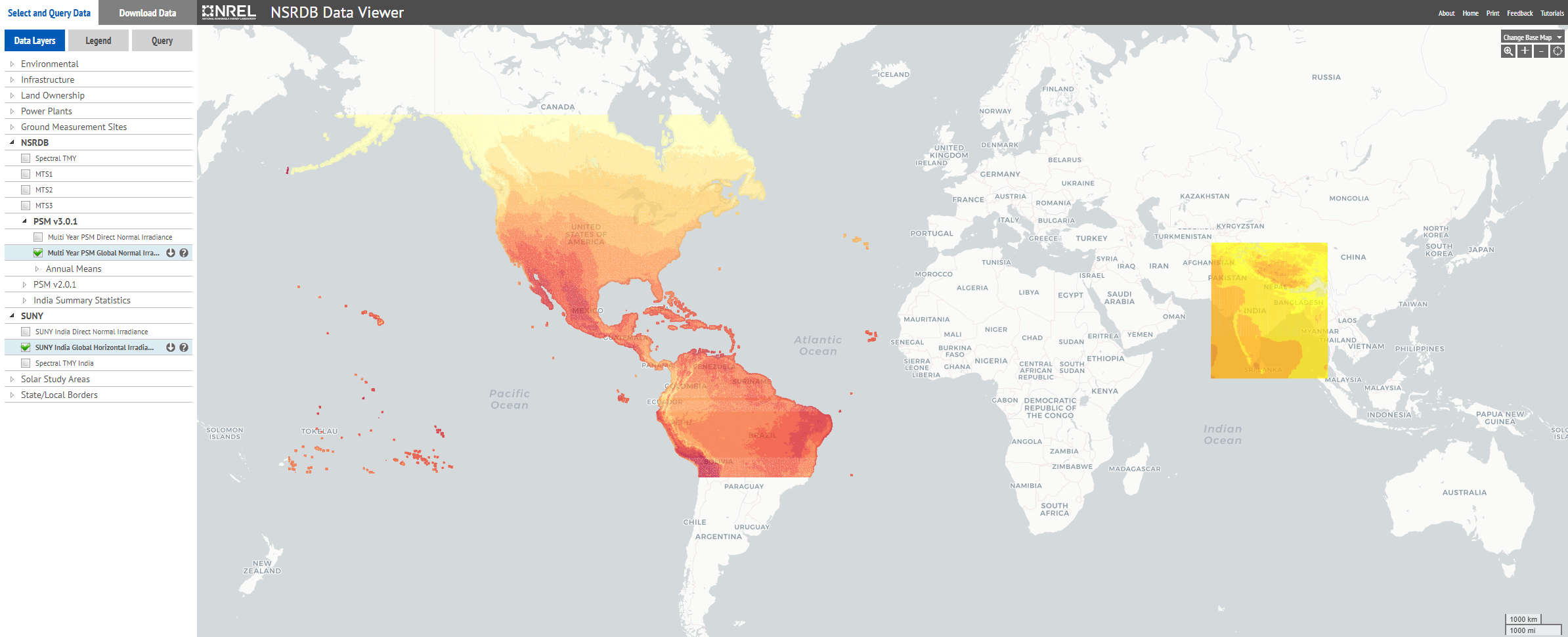
The NSRDB data available are TMY (Typical Meteorological Year) based on the most recent data from the NREL.
Solcast TMY data
Solcast TMY P50 data is a collation of historical weather data for a specified location for a one year period.
SolarAnywhere® TGY data
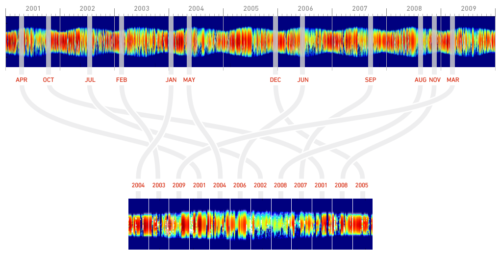
SolarAnywhere® TGY data are SolarAnywhere’s version of TMY data. The TGY data will include 12 months of actual data from various years in the historical time series. For example, if January of 2010 has the monthly total irradiance closest to the long-term average monthly total irradiance for all Januarys as calculated in step 1, it will be included in the file. This is illustrated below.
Solargis TMY data
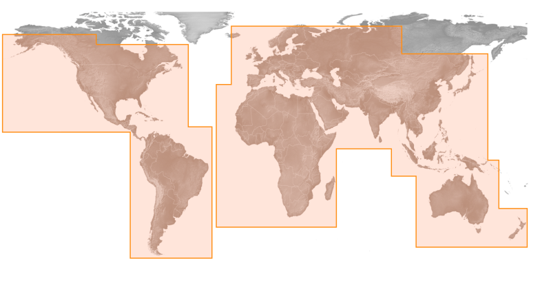
Solargis provides Typical Meteorological Year (TMY) data for a particular geographical location derived from multi-year time-series as shown below.


